
Tag: maps
-
Very Important Maps
I have been a terrible blogger of late. Consider this an apology. And a celebration of maps.
-
32 images that answer: “How Long is Long Island?”
Using a tool called MAPfrappe I’ve put together some images that compare the geographic scale of Long Island to other places in our region, and across the world. As I’ve mentioned before, even though I live in Brooklyn I consider myself a Long Islander. I am from a town on the north shore called Mt.…
-
Simon Garfield’s On the Map
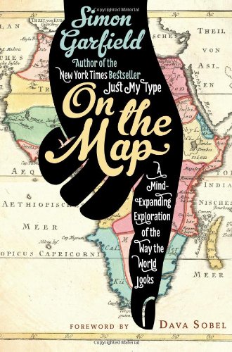
Cartographers, like nature, abhor a vacuum and have traditionally filled the empty spaces on maps with large lettering, descriptive passages, drawings and/or certain labels that many of us may be familiar with, such as terra incognita (“unknown land”) or hic sunt dracones (“here be dragons”). However, as Simon Garfield tells us in his breezy romp…
-
Hurricane Sandy – A picture (map) is worth a thousand words.
Hurricanes and cyclones are global weather events which require the mapping capabilities of weather satellites. The National Oceanic and Atmospheric Administration (NOAA) is a federal agency focused on the condition of the oceans and the atmosphere. National Weather Service is part of the NOAA and it keeps track of hurricane activity on both coasts of the United…